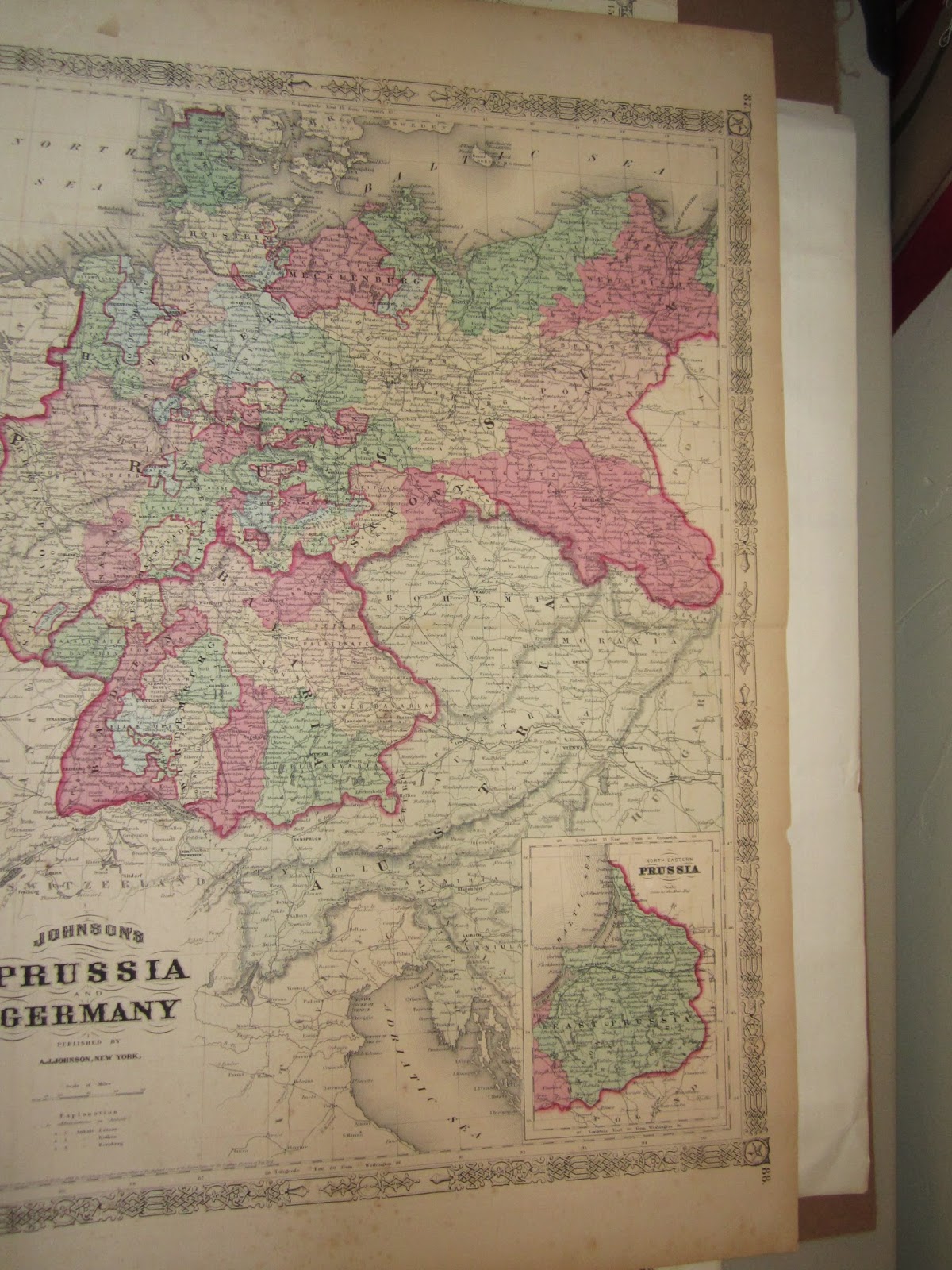
Collecting Maps - different styles available
Pictorial - More artistic then technical
illustrated maps were a common way to promote tourism in the early 20th century
Outdated boundaries - maps that feature obsolete
state lines (like Dakotas for north and south)
Decorative Ornate borders illustrations,
lithographs, engraved
Statistical these maps exhibit the distribution
of townships, post offices, railways etc
Prominent Maker Created by top cartographer
Birds eye View - natural resources, large view of
city, country
Topographical lithographs, shows topography of
land like Crater Lake
Railroad Display the countries many RR lines,
If you are buying maps to resell, condition is everything unless very rare.


No comments:
Post a Comment